Saudi Geological Survey Authority Jeddah
The Saudi Geological Survey (SGS) was established as an independent entity attached to the Ministry of Petroleum and Mineral Resources following a Council of Ministers Decision in 1999.
The tasks and duties of the SGS are similar to those of most geological surveys worldwide, and include mapping, grass-roots mineral exploration, geohazard and geoenvironmental studies, hydrogeological studies and services to the community.
The SGS maintains support teams of geophysicists, remote sensors, GIS and database specialists, as well as laboratory and publication arms, that will allow it to provide a full range of earth-science information about the Kingdom.
Under the terms of its establishment, the SGS will be able to provide, on a contract basis, a number of its services and consultation skills to the public and private sectors.SGS also has the flexibility to operate abroad and can form partnerships with private companies or with other earth science agencies.

Saudi Geological Survey Authority Jeddah
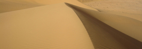
Sandunes Cressent-Shaped Sandunes in Al-Nufud Desert
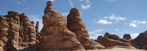
Sand Rocks A Shape Formed by Corroded Sandstone Rocks in K.S.A.
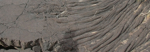
Lava A Lava Shape in one of the Saudi Arabian Harat
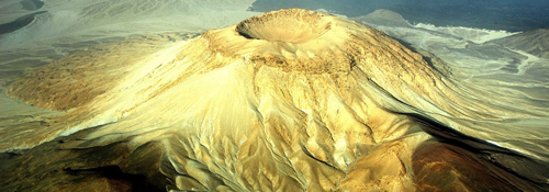
The White Mountain A Crater in Khaybar Area
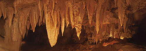
Discovered Caves Showing Calcic Stalactites Formed by Water Drops Containing Calcium Carbonates
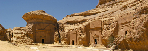
Ancient Graves Ancient Graves Sandstone Rocks in Madayin Saleh, Near Al-Ula Town, North of K.S.A.
Website : www.sgs.org.sa/English/Pages/default.aspx


